Geomatics Engineering
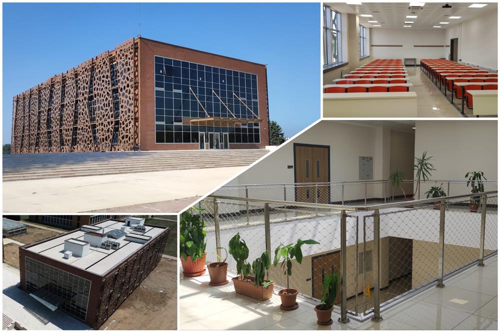
Welcome to the Department of Geomatics Engineering, established in 1996. The Department, which moved into Cayirova Campus in 2011, encompasses five main scientific fields: Geodesy, Photogrammetry, Surveying, Cartography and Cadastral Surveying. Equipment of the department laboratories includes GPS instruments, total stations, several leveling instruments, a photogrammetric analytical stereoplotter, numerous computers and software packages.
Today, engineers need more information to solve complex engineering problems. The main goal of our department is to provide students studying at and graduating from departments such as Geomatics, Geology, Urban and Regional Planning, and Mathematics Engineering with a broad theoretical and practical background in GIS, remote sensing and surveying techniques.
 |
|
|
|
|
 |
|
 |
|
|
GTÜ Harita Mühendisliği Bölümü, 1996 yılında kurulmuş ve Fen Bilimleri Enstitüsü bünyesinde Jeodezi & Coğrafi Bilgi Teknolojileri Yüksek Lisans / Doktora programı ile eğitim vermektedir. Bölümde 2017-2018 eğitim-öğretim yılında Lisans programı açılmış olup, dört yıllık Lisans eğitim-öğretim planına göre Harita Mühendisi ünvanıyla mezun vermektedir. Bölüm Akademik Personeli; 5 Profesör, 3 Doçent, 2 Doktor Öğretim Üyesi, 1 Öğretim Görevlisi ve 3'ü doktoralı toplam 15 Araştırma Görevlisinden oluşan genç ve yetkin bir kadrodur. Bölüm Laboratuvarları, eğitim faaliyetlerinde ve araştırma projelerinde kullanılmak üzere geniş olanaklara sahiptir. |
|
|
|
|
|
- |
|
|
- |
|
|
- |
|